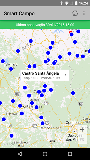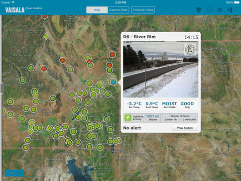
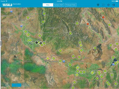
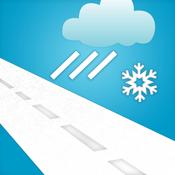
Vaisala RoadDSS Road Condition shows weather and surface observations from Road Weather Information Systems (RWIS) connected to the Vaisala RoadDSS Data Service. Users have access to the following:- Atmospheric and Surface observations from Road Weather Stations (RWS) presented via a GIS based map- RWIS locations color-coded on the map based on surface conditions or surface temperatures- Camera images from Road Weather Stations- Weather observations reported from airports (METARs)- The proximity of lightning to Road Weather Stations; powered by Vaisala's North American Lightning Detection Network (NALDN) and Vaisala's Global Lightning Dataset (GLD360)- Weather Radar data and animation (coverage for the US and UK)- A user’s current location can be displayed on the map- Drive Mode allows a user to auto-pan the map keeping the user’s current location centered on the display- Push notifications informing users of winter surface conditions - Data filtering based on selected observation criteria- Weather Outlook Ticker providing the forecasted high and low air temperature along with a weather summary icon covering each of the next three days for each RWIS and METAR location- On demand data refreshThe app works in conjunction with the Vaisala RoadDSS Data Service.

免費玩Vaisala RoadDSS® Road Condition APP玩免費
免費玩Vaisala RoadDSS® Road Condition App
Vaisala RoadDSS® Road Condition APP LOGO
Vaisala RoadDSS® Road Condition APP QRCode
| 熱門國家 | 系統支援 | 版本 | 費用 | APP評分 | 上架日期 | 更新日期 |
|---|---|---|---|---|---|---|
| 未知 | iOS App Store | 2.1 App下載 | 免費 | 2015-01-14 | 2015-06-03 |