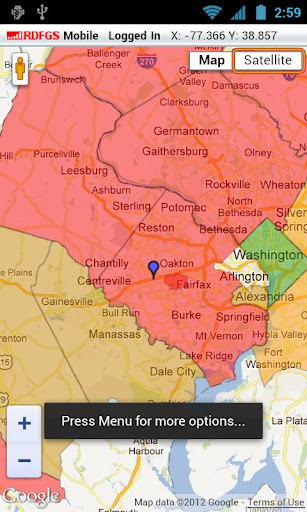
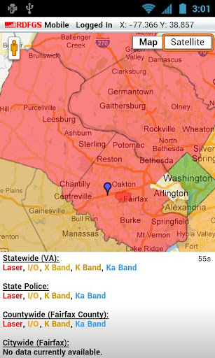
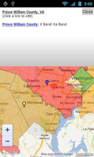
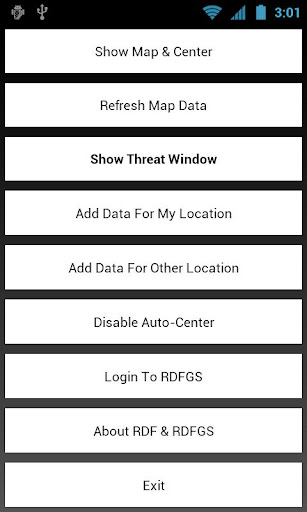
The RDF Geographical Survey (or RDFGS) is an interactive, up-to-date database of radar/laser threats around the United States, with information on radar detector/laser jammer laws, and includes specific details down to the city level regarding speed enforcement tactics and technology. The system was developed completely in-house and is maintained by the RDF (radardetectorforum.org) community. In the world of radar and laser countermeasures, knowledge is the key to survival.
This application is not intended for navigational purposes; it is completely different than Trapster and Waze - our data is based on confirmed threats which cover certain geographical areas. There are no "live events" such as "laser threat 500 meters away," that is not the intent of this application. This application is mainly intended for mapping out specific areas and showing what types of speed enforcement those areas employ.
免費玩RDFGS Radar & Laser Database APP玩免費
免費玩RDFGS Radar & Laser Database App
RDFGS Radar & Laser Database APP LOGO

RDFGS Radar & Laser Database APP QRCode
| 熱門國家 | 系統支援 | 版本 | 費用 | APP評分 | 上架日期 | 更新日期 |
|---|---|---|---|---|---|---|
| 未知 | Android Google Play | 1.03 App下載 | 免費 | 1970-01-01 | 2015-03-11 |


