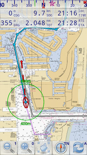
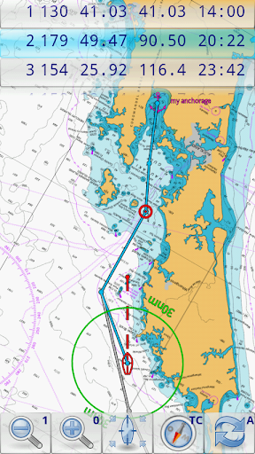
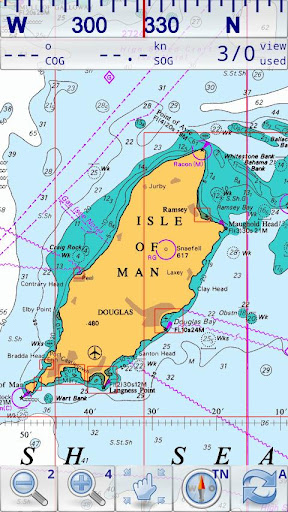
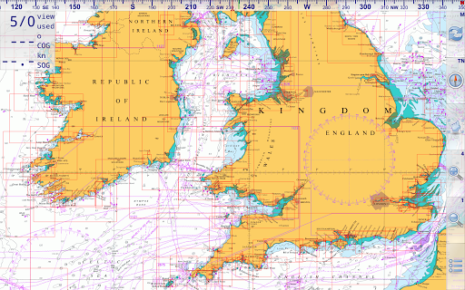
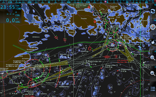
Marine Navigator is an offline navigator using raster navigational charts (RNC's) to plot your position in real time. This way you can navigate with true copies of official paper charts on your mobile device. This full version of the Marine Navigator provides besides the functionality of the lite version the following enhanced functions:
* automatic chart switching depending on current position and zoom level
* scrolling through all charts available for the current location by "press and hold" zoom buttons
* display of number of available charts for current location in the zoom buttons
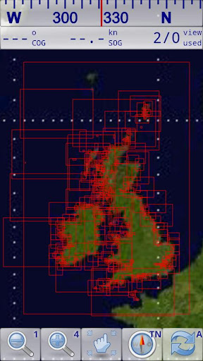
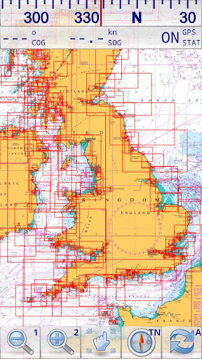
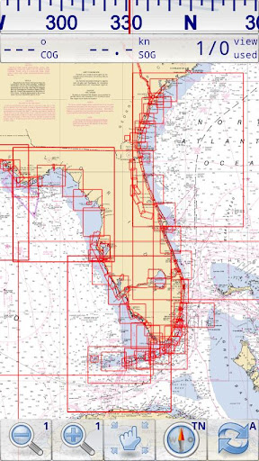
* display of outlines of installed charts in active chart
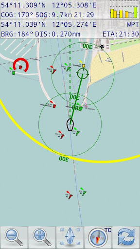
* chart rotation (True North, True Course, Compass Heading, original chart orientation)
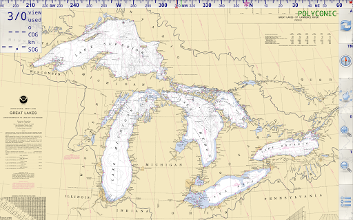
* support of non-mercator projections (Polyconic, Transverse Mercator, UTM, ...) by polynomials
* support of geodetic datum other than WGS84/NAD83 by applying northing and easting

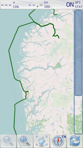
* tracks, way points, routes
* follow route automatically

* intuitive route editor
* gpx import and export of waypoints and routes

* gpx export of tracks
* recording of tracks in active and standby mode

* compass (magnetic heading, true heading, true north indicator)

* different dashboard layouts (basic data, detailed route data, detailed GPS data including graphical status info)
* Man Over Board (MOB) functions
* import and storage of installed charts in external folders
* support of encrypted charts including activation via EMAIL
* switching between chart sets (support of large number of installed charts)
Marine Navigator doesn't come with pre-installed nautical charts. Instead it is able to import BSB/KAP raster navigational charts or to use native Marine Navigator MNX-charts (see menu->help for instructions). BSB/KAP charts are available for free download on the Internet:
* http://www.nauticalcharts.noaa.gov/mcd/Raster/index.htm (Suite of NOAA nautical charts that covers the coastal waters of the U.S. and its territories)
* http://www.mar.mil.br/dhn/chm/box-cartas-raster/raster_disponiveis.html (Suite of CHM nautical charts that covers the coastal waters of Brazil and its major rivers)
* http://www.linz.govt.nz/hydro/charts/digital-charts/nzmariner (NZMariner is the product name of New Zealand's Official RNC folio.)
* http://www.openseamap.org (Openseamap charts are based on Openstreetmap data enriched with additional nautical information. The charts cover selected european coastal waters).
Native Marine Navigator MNX-charts are offered by selected chart distributors. The charts are maintained by the distributor. They are not free. Further regions are coming):
* http://www.visitmyharbour.com/download-android-charts (Chart sets for UK/IRL, IBERIA, Belgium and Netherland)
* http://maps.soltek.se (Charts for Sweden and Finland)
Try before you buy: You can test the basic functions of Marine Navigator by downloading Marine Navigator Lite. If you like the app and are looking for a comprehensive set of navigational functions purchase this full version.
免費玩Marine Navigator APP玩免費
免費玩Marine Navigator App
Marine Navigator APP LOGO
Marine Navigator APP QRCode
| 熱門國家 | 系統支援 | 版本 | 費用 | APP評分 | 上架日期 | 更新日期 |
|---|---|---|---|---|---|---|
| 未知 | Android Google Play | 2.1.8 App下載 | EUR$6.9 | 1970-01-01 | 2015-04-22 | |
| 台灣 Taiwan | Android Google Play | 2.1.7 App下載 | NT$274.0 | 2014-09-03 | 2015-03-25 |