
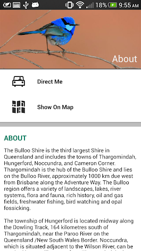
The Bulloo Shire is the third largest Shire in Queensland and includes the towns of Thargomindah, Hungerford, Noccundra, and Cameron Corner. Thargomindah is the hub of the Bulloo Shire and lies on the Bulloo River, approximately 1000 km due west from Brisbane along the Adventure Way. The Bulloo region offers a variety of landscapes, lakes, river systems, flora and fauna, rich history, oil and gas fields, freshwater fishing, bird watching and opal fossicking.
The township of Hungerford is located midway along the Dowling Track, 164 kilometres south of Thargomindah, near the Paroo River on the Queensland /New South Wales Border. Noccundra, which is situated adjacent to the Wilson River, can be reached by travelling west from Thargomindah along the Adventure Way for 122 kilometres, and then driving south for 20 kilometres. Cameron Corner is where the States of Queensland, New South Wales and South Australia meet, and lies 402 kilometers from Thargomindah. The Corner can be reached by driving south from the turn off at Nockatunga Station, near Noccundra, for 283 kilometres.

免費玩Bulloo Shire APP玩免費
免費玩Bulloo Shire App
Bulloo Shire APP LOGO

Bulloo Shire APP QRCode
| 熱門國家 | 系統支援 | 版本 | 費用 | APP評分 | 上架日期 | 更新日期 |
|---|---|---|---|---|---|---|
| 未知 | Android Google Play | 1.0 App下載 | 免費 | 1970-01-01 | 2015-03-12 |


