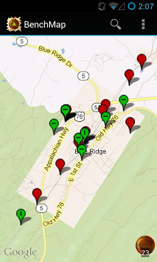
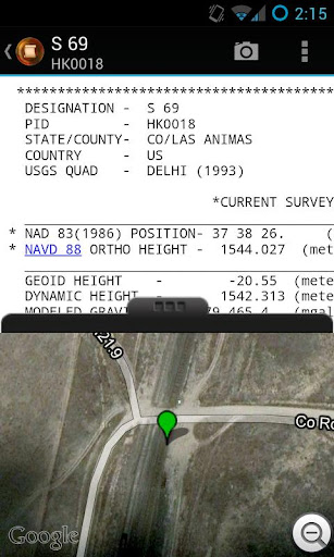
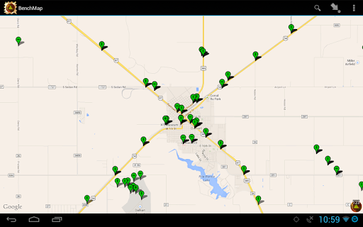
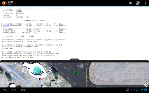
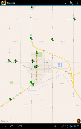
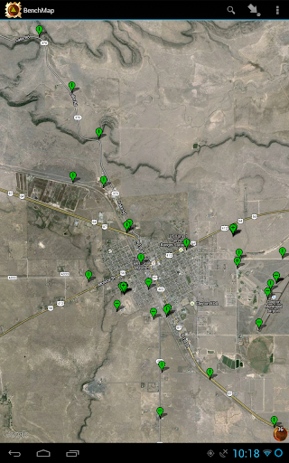
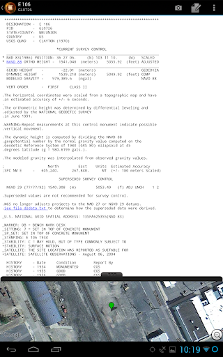
BenchMap allows searching and viewing of National Geodetic Survey / NGS survey stations on an interactive map. Once a station is selected you can view the datasheet, view the Geocaching page, take photographs and record notes.
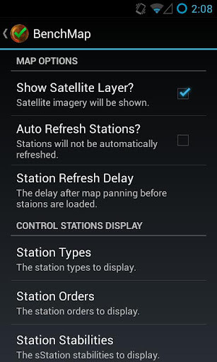
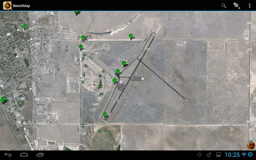
On the map, you can filter the types of stations to display - like certain stabilities, horizontal/vertical orders, and destroyed/non-publishable status. You can also directly search for a PID, and have the map take you to the location of the station, and manually view the datasheet of a station.
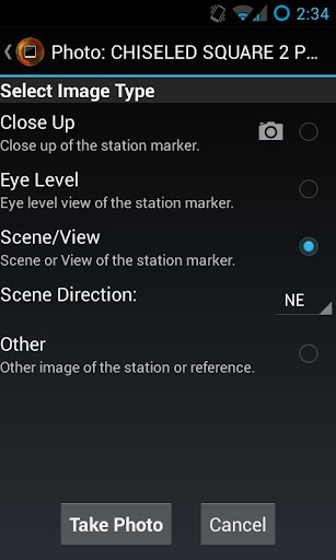
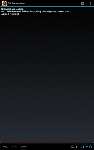
Once a station is found, you can take photographs of it, images being stored in a simple numbering scheme or be saved using the NGS's recommended photograph naming convention. Using the naming convention, each station's images are stored in their own folder, along with a notes text file if the you record any recovery notes for the station.
Made for the professional surveyor and the geocache hunter (benchmark hunter!) out there in the wild.
Note that the application will only display NGS survey marks. (No USGS stations or State stations at this time, unless they are included in the NGS database.)

免費玩BenchMap APP玩免費
免費玩BenchMap App
BenchMap APP LOGO
BenchMap APP QRCode
| 熱門國家 | 系統支援 | 版本 | 費用 | APP評分 | 上架日期 | 更新日期 |
|---|---|---|---|---|---|---|
| 未知 | Android Google Play | 1.2.5 App下載 | 免費 | 1970-01-01 | 2015-04-20 |